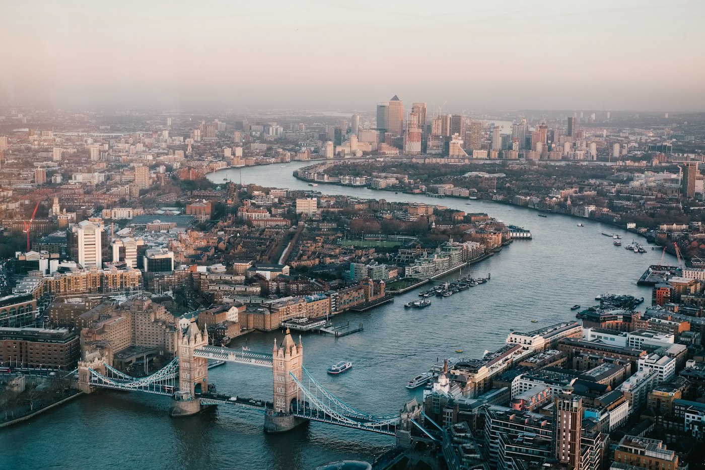
Discover the United Kingdom Through Expert Geographic Analysis
We provide comprehensive geographic consultancy services that help organisations, researchers, and individuals understand the rich and varied landscapes of Britain.
Explore Our Services
We provide comprehensive geographic consultancy services that help organisations, researchers, and individuals understand the rich and varied landscapes of Britain.
Explore Our ServicesThe United Kingdom encompasses an extraordinary variety of landscapes compressed into a relatively compact area. From the rugged highlands of Scotland to the chalk cliffs of Dover, from the Lake District's glacial valleys to the fenlands of East Anglia, each region tells a unique geological story spanning hundreds of millions of years.
Our team of geographic specialists brings together expertise in physical geography, cartography, environmental analysis, and regional planning to offer services that reveal the hidden stories within British terrain.
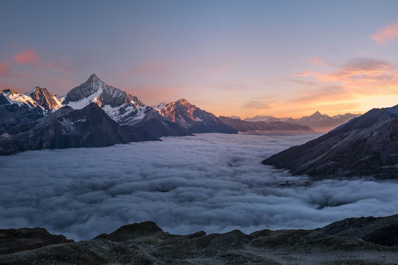
Whether you are planning a development project, conducting academic research, or seeking to understand how landscape influences community and culture, geographic insight provides the foundation for informed decision-making. The topography of a region affects everything from flood risk to agricultural potential, from transport infrastructure to renewable energy placement.
Professional services designed to illuminate the complexities of British geography
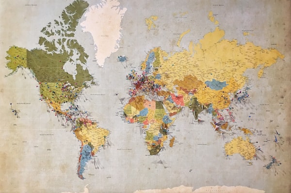
Comprehensive analysis of landscape features, elevation patterns, and geological characteristics for any region of the UK.

Detailed examination of river systems, drainage basins, and hydrological patterns affecting land use and flood management.
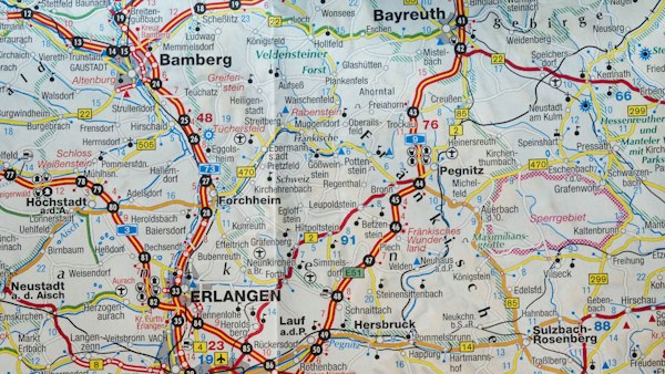
Analysis of shoreline dynamics, erosion patterns, and coastal landforms for planning and conservation purposes.
"Geography is the subject which holds the key to our future."
— Michael PalinThe geographic character of the United Kingdom can be understood through its distinct regions. The upland areas of Wales, Scotland, and northern England contrast sharply with the lowland basins of the Midlands and South East. These variations result from complex geological processes including mountain building events, glacial sculpting, and millions of years of erosion and deposition.

Understanding these regional differences enables more effective planning for agriculture, infrastructure, conservation, and development. Our consultants work with clients across all sectors to provide geographic intelligence that supports better outcomes.
We combine traditional geographic methods with modern technologies including satellite imagery, digital elevation models, and geographic information systems. This integrated approach allows us to deliver insights that are both scientifically rigorous and practically applicable.
Every project begins with understanding your specific requirements. Whether you need a broad regional overview or a detailed site-specific analysis, we tailor our methodology to deliver the information that matters most to your objectives.
Request a ConsultationDeep knowledge of every geographic region across England, Scotland, Wales, and Northern Ireland.
Utilising the latest geographic datasets and analytical techniques for accurate insights.
Accessible reports that communicate complex geographic information effectively.
"The terrain analysis report provided exactly the information we needed for our wind farm planning application. The detail on local topography and exposure patterns was exceptional."

"Working with Quiet-ibis transformed our understanding of the watershed dynamics affecting our agricultural land. Their recommendations have helped us implement effective drainage solutions."

Tell us about your geographic consultancy needs and we will respond within two working days.
Our team of geographic consultants is ready to help you understand the landscapes that shape the United Kingdom.
Get in TouchThe information provided on this website is intended for general informational purposes only. Geographic analysis results may vary depending on data sources, methodology applied, and site-specific conditions. This content does not constitute professional advice for specific projects. We recommend consulting with qualified professionals for decisions regarding land use, development, or environmental matters. Individual results and applicability may differ based on circumstances.