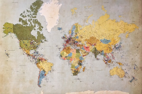
Comprehensive geographic consultancy tailored to your requirements
Each of our services is designed to provide specific geographic insights for different applications. Whether you require detailed site analysis or broad regional understanding, our team applies rigorous methodology to deliver actionable results.
Comprehensive examination of landscape features including elevation profiles, slope gradients, aspect analysis, and geological characteristics. Ideal for development planning, site selection, and land capability assessment.

Detailed analysis of drainage basins, river systems, and hydrological patterns. Essential for flood risk assessment, agricultural water management, and infrastructure planning near watercourses.
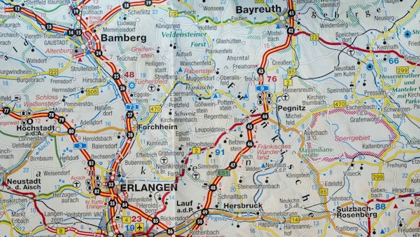
Analysis of shoreline dynamics including erosion rates, sediment transport, and coastal landform evolution. Critical for coastal development, conservation planning, and adaptation strategies.

Custom cartographic products showing geographic features, land use patterns, and spatial relationships for specific regions. Suitable for strategic planning, educational resources, and visual communication.
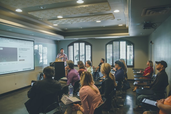
Half-day or full-day training sessions covering geographic concepts relevant to your sector. Topics include map interpretation, landscape assessment, and understanding geographic data for non-specialists.

Bespoke geographic analysis designed around your specific requirements. We work with you to define the scope, methodology, and deliverables that will best serve your project objectives.
Every engagement follows a structured approach that ensures you receive geographic analysis suited to your needs.
We begin by understanding your project context, objectives, and the decisions our analysis will inform. This conversation shapes the scope and methodology of our work.
Based on our discussion, we provide a detailed proposal outlining the analysis approach, timeline, deliverables, and pricing. Work commences upon your approval.
Our team gathers relevant geographic data and applies appropriate analytical methods. We may conduct site visits where direct observation adds value.
You receive a comprehensive report presenting our findings in clear, accessible language with supporting maps, diagrams, and data tables as appropriate.
We remain available to clarify findings, answer questions, and provide additional context as you apply our analysis to your project.
Geographic consultancy requires more than technical competence. It demands an understanding of how geographic information will be used and the ability to communicate complex spatial concepts clearly.
Our team brings both academic rigour and practical experience to every project. We have worked with local authorities, developers, environmental organisations, farmers, and researchers across the United Kingdom, developing an understanding of diverse needs and applications.
We use authoritative geographic datasets from Ordnance Survey, British Geological Survey, and Environment Agency.
Our analysis integrates GIS technology, remote sensing data, and digital elevation models.
Reports designed for application, not merely academic interest.
"The watershed study provided exactly the level of detail we needed to design effective drainage improvements. Clear, thorough, and professionally presented."
— Regional Land Manager, National TrustSelect the service you are interested in and provide your details. We will respond within two working days with further information.
Our team is happy to discuss your requirements and help you determine which service best fits your needs.
Contact UsThe information provided on this website is intended for general informational purposes only. Geographic analysis results may vary depending on data sources, methodology applied, and site-specific conditions. This content does not constitute professional advice for specific projects. We recommend consulting with qualified professionals for decisions regarding land use, development, or environmental matters. Individual results and applicability may differ based on circumstances.